


Réseaux
A multilayered approach to complexities
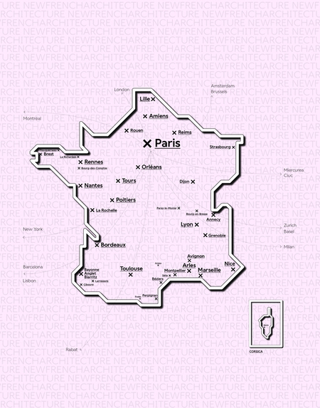
New French Architecture
An Original Idea by New Generations
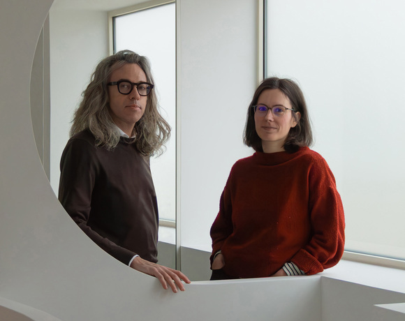
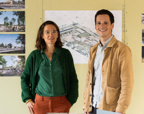
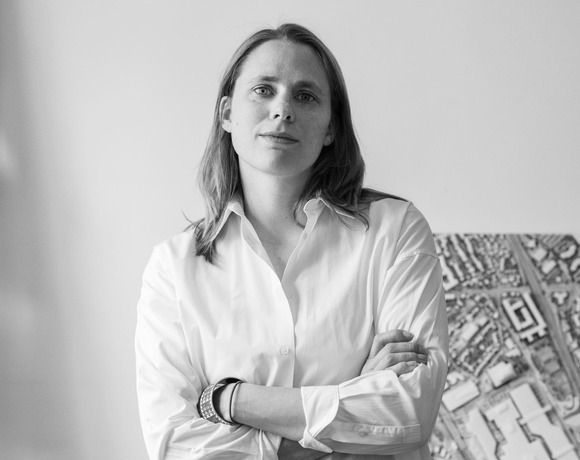
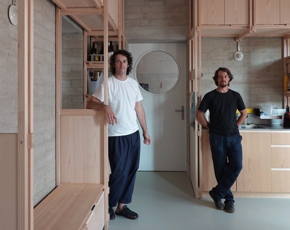
FMAU
A Practice in Motion
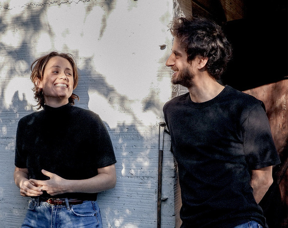
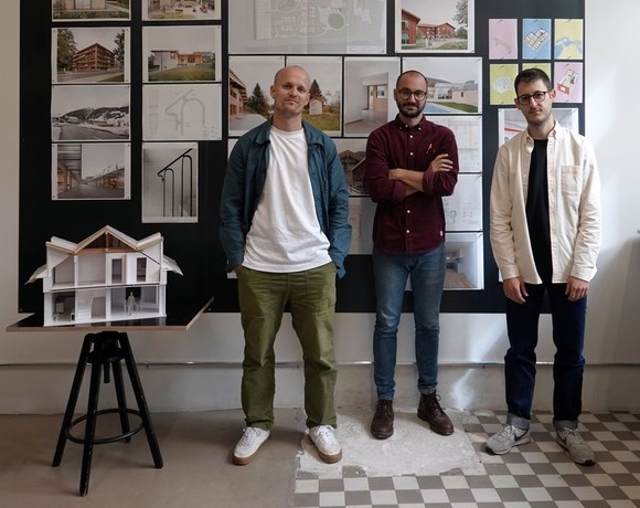
Bhaskar Architecture
Driven by Ethics, Creativity, and Purpose
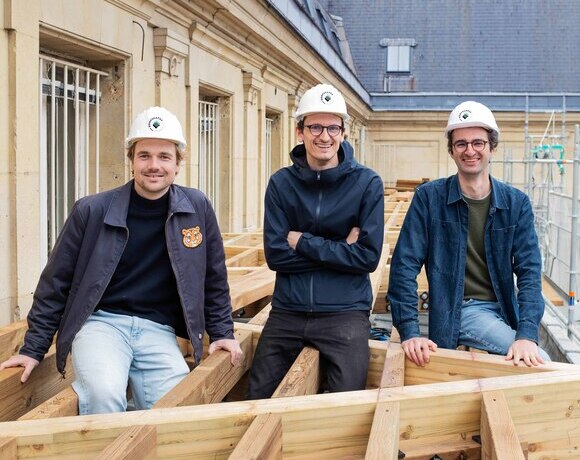
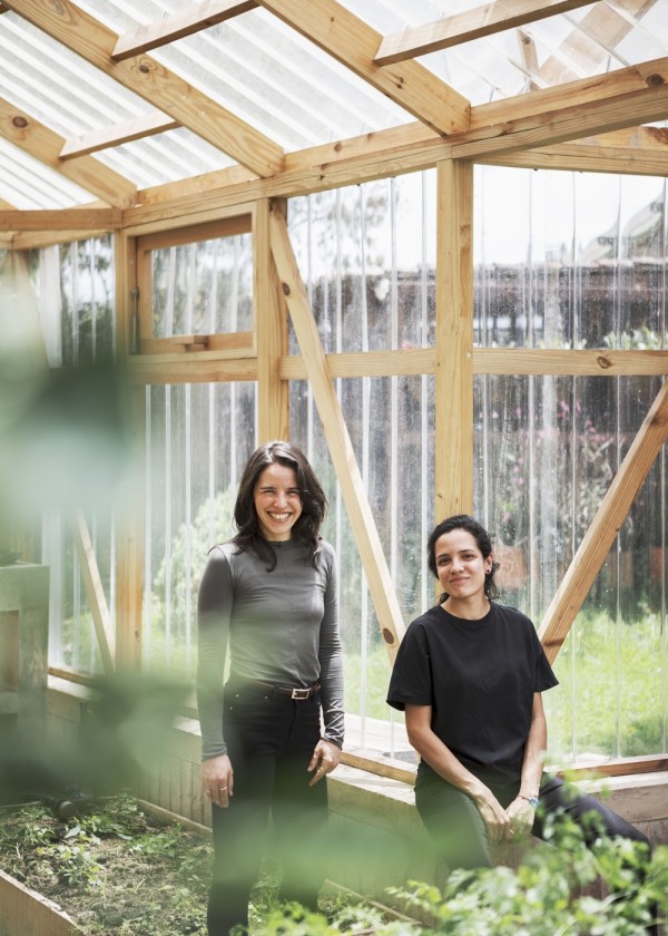
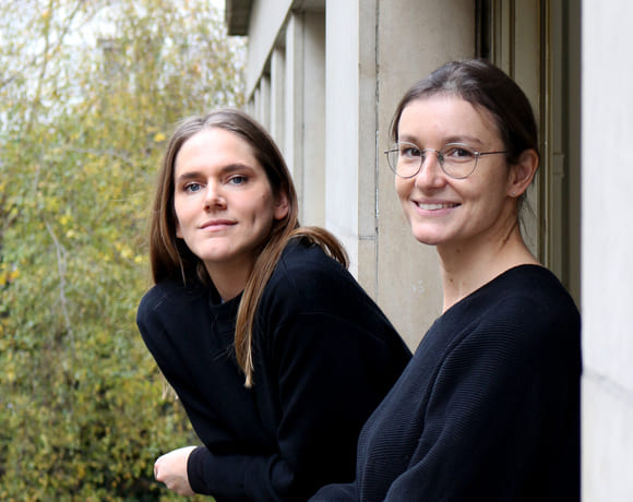
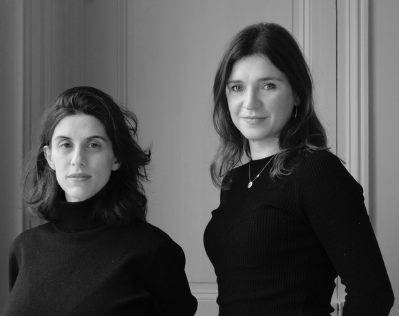
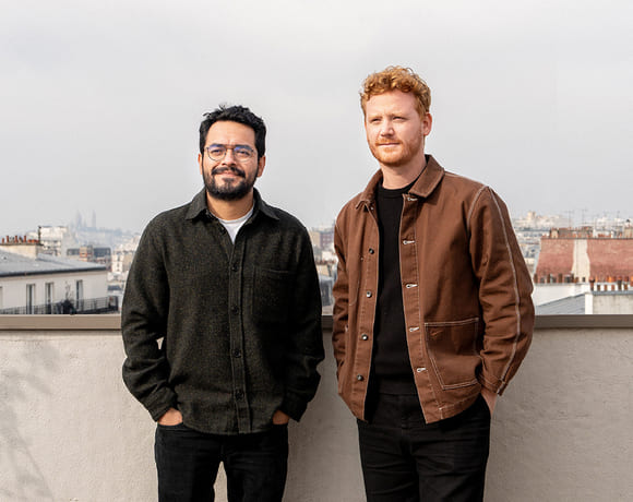
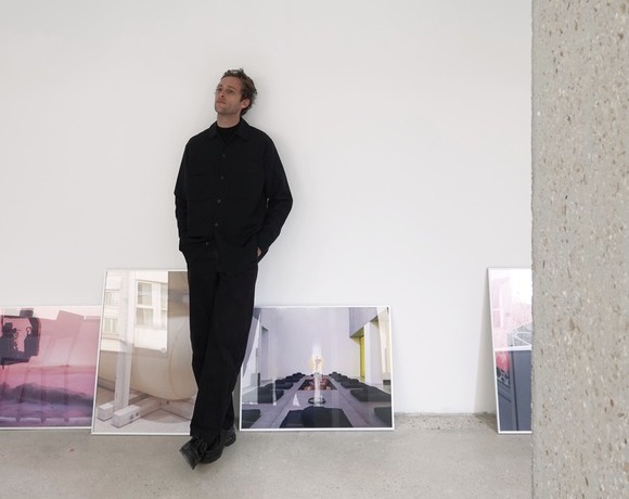
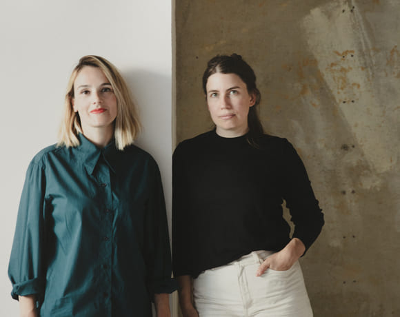
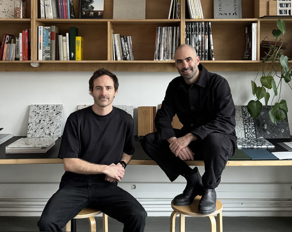
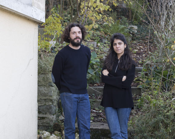
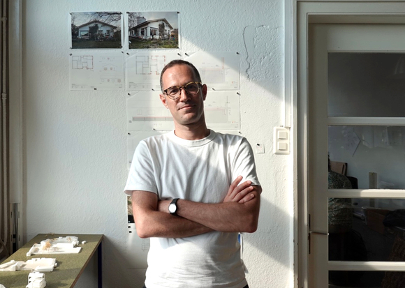
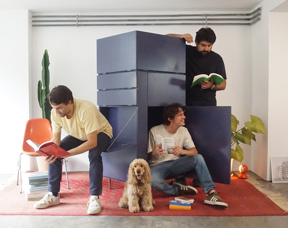
Roofscapes
Echoes of the Earth Above
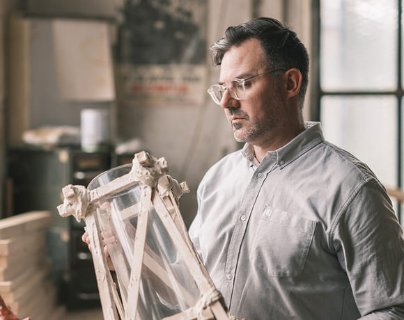
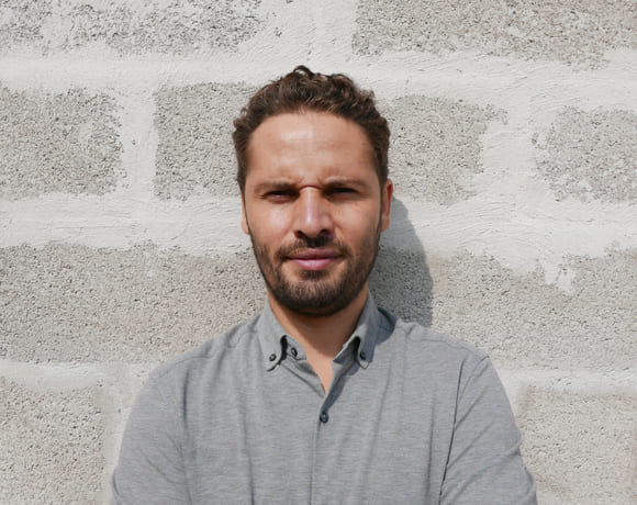
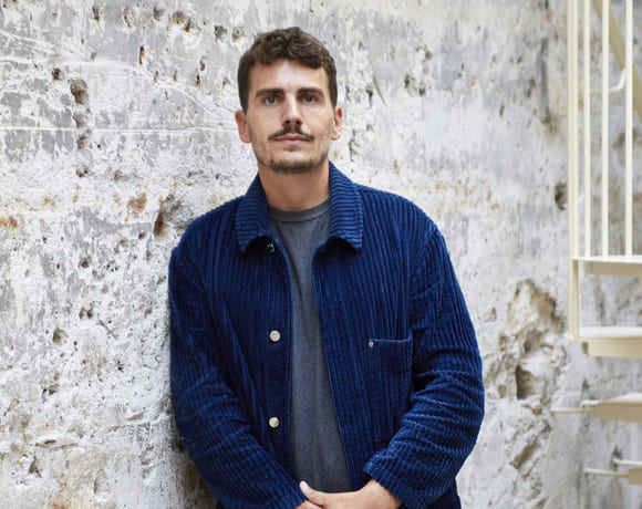
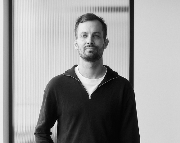
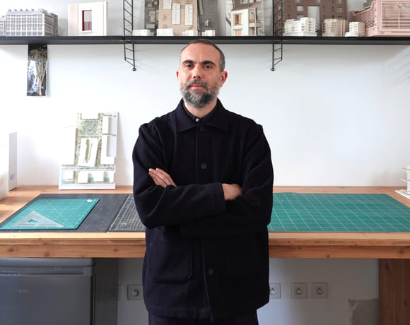
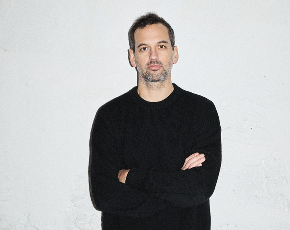
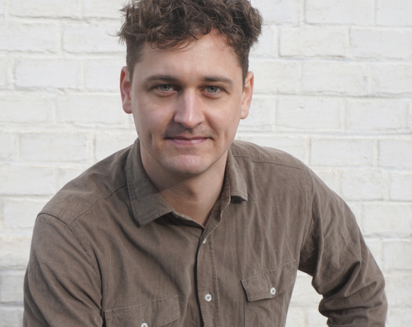
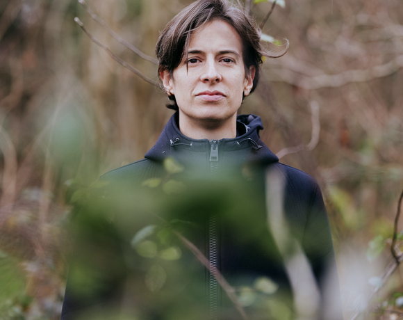
Martial Marquet
Where Design and Community Converge
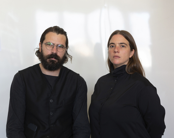
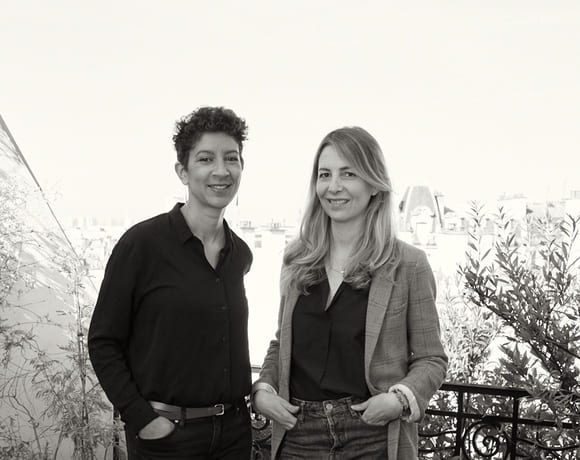
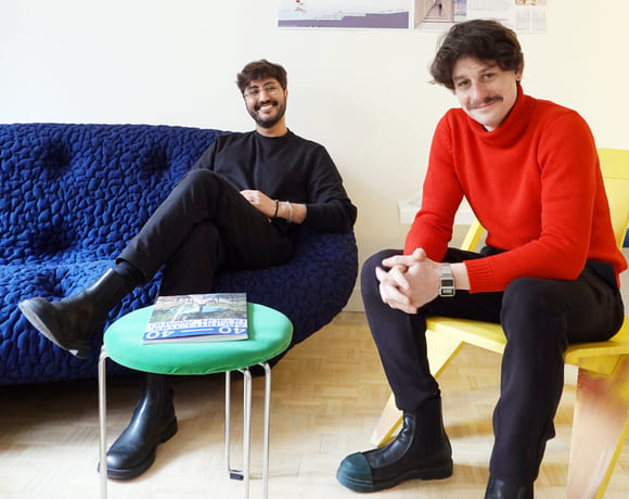
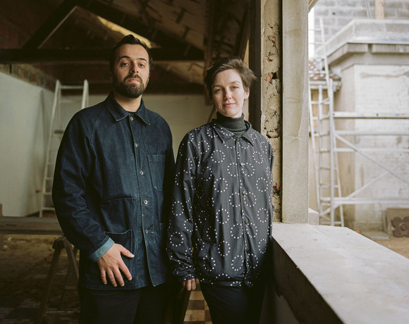
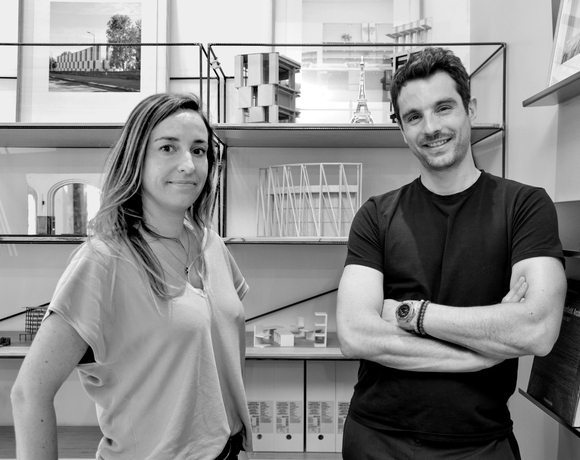
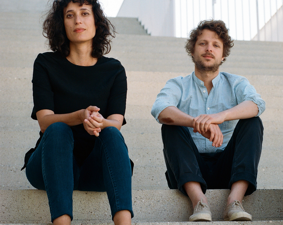
Samuel Gloess Architectes
Architecture That Moves With the Future

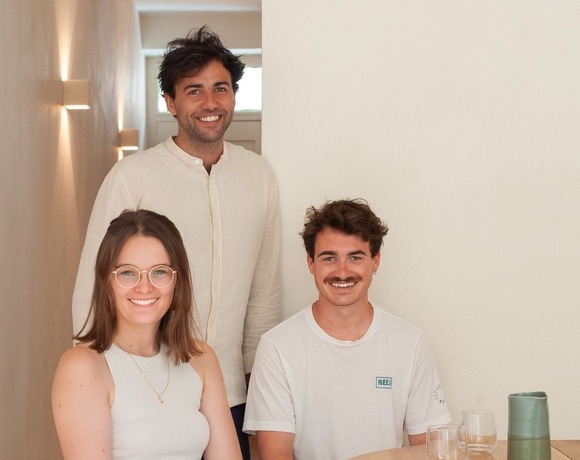
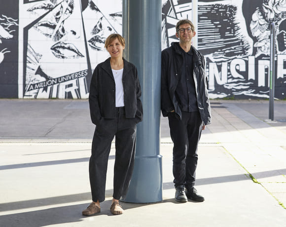
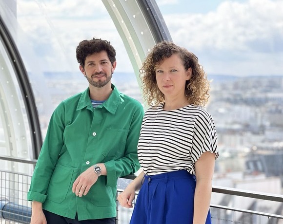
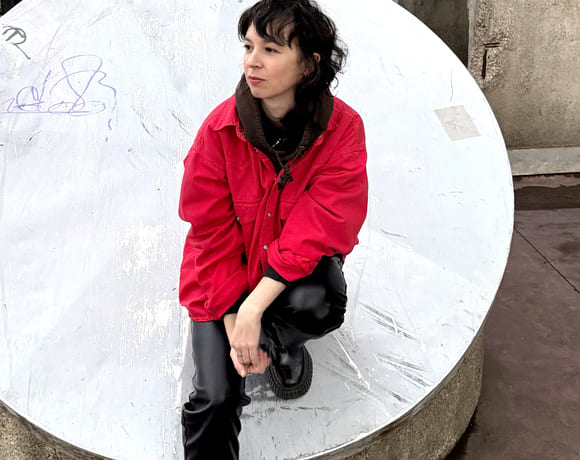
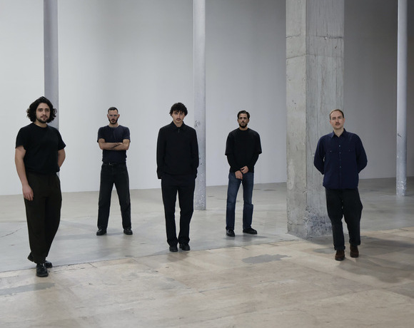
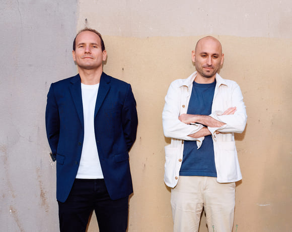
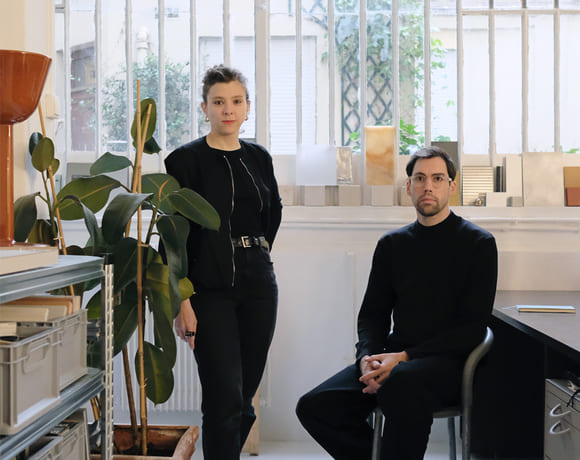
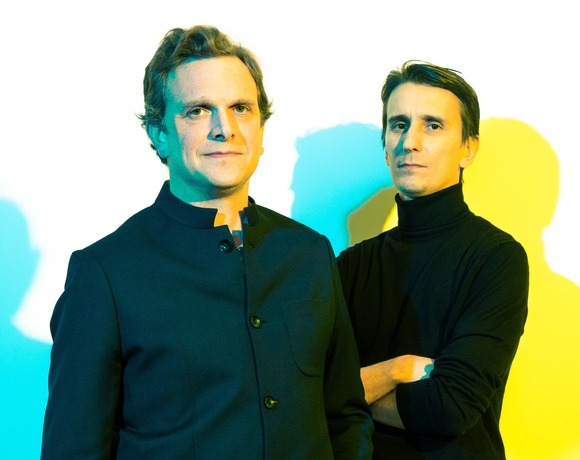
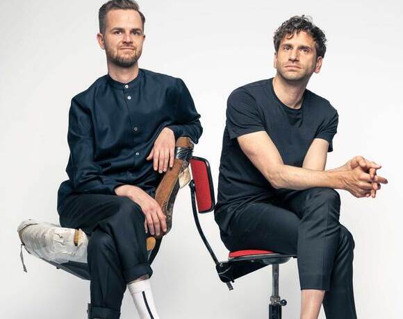
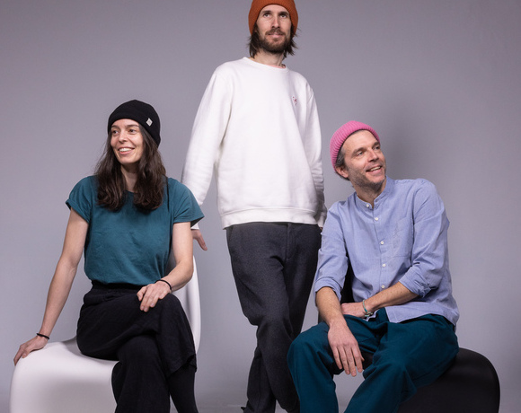
Upsilon
Material Intelligence as Practice
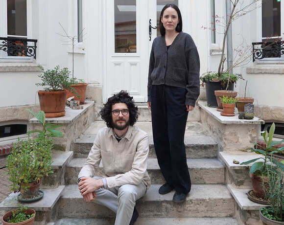
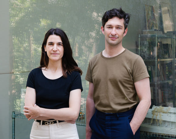
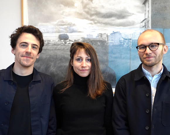
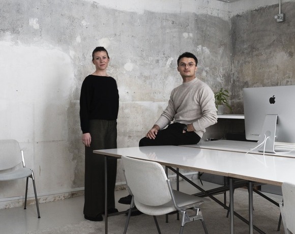
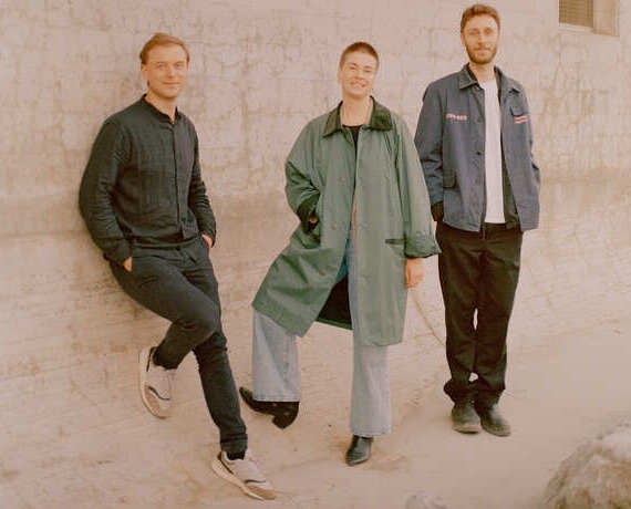
UR
Integrated, Multiscalar Thinking
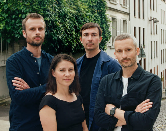
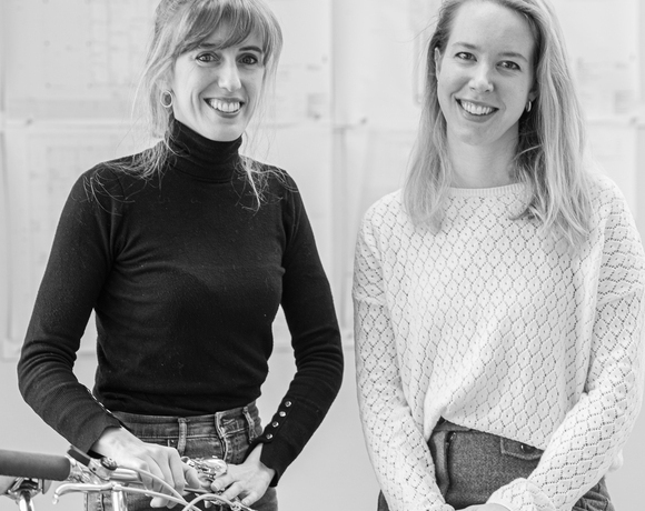
Aspaï Architectes
Balancing Heritage and Innovation
OAR / OFFICE ABRAMI ROJAS
Starting Small, Thinking Deep
elua®
Cinematic Practice
asné achitecture
Material Roots, Precise Vision
Studio Classico
Breaking conventions with Studio Classico

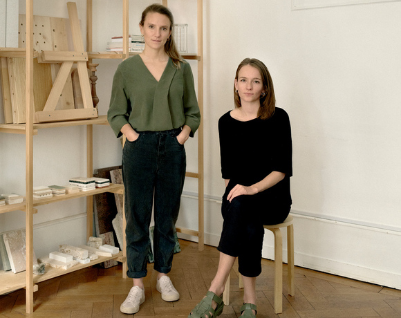
Gwendoline Eveillard Studio
The Challenge of Reuse

KIDA
From Playground to Practice
atelier mura scala
Aiming at Peripheral Futures
rerum
A Laboratory for Urban Transformation
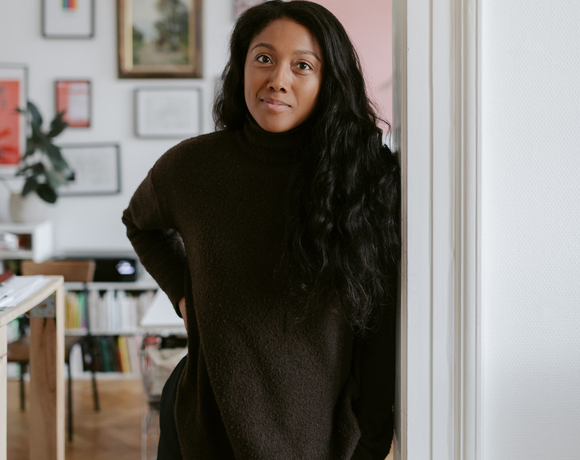
Le Studio Sanna Baldé
Bodies and Communities, First
QSA
A Journey of Reinvention and Adaptation
LDA Architectes
Practising Responsiveness
Atelier Sierra
Geographies of Practice
nicolas bossard architecture
Evolution: Flat by Flat
Compagnie architecture
Culture on Site
Studio Albédo
Strategic Acts of Architecture
Fabricaré
Simplicity and Singularity In the Making
Renode
Renovation as Quiet Resistance
Kapt Studio
Pushing Boundaries Across Scales
Room Architecture
Between Theory, Activism, and Practice
AVOIR
Structural Unknowing
DRATLER DUTHOIT architectes
Crafting Local Language
Claas Architectes
Building with the Region in Mind
B2A - barre bouchetard architecture
Embracing Uncertainty in Architecture

Acmé Paysage
Nurturing Ecosystems
Atelier Apara
Architecture Through a Pedagogical Lens
HEMAA
Designing for Ecological Change
HYPER
Hyperlinked Scales
Between Utopia and Pragmatism
Oblò
Dialogue with the Built World
Augure Studio
Revealing, Simplifying, Adapting

Cent15 Architecture
A Process of Learning and Reinvention

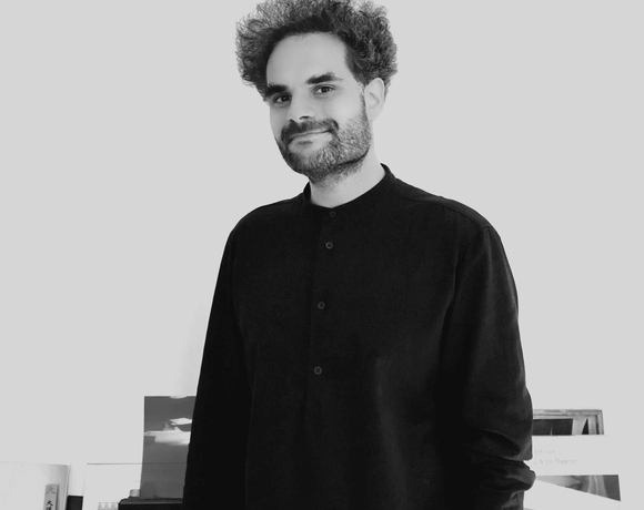
Pierre-Arnaud Descôtes
Composing Spaces, Revealing Landscapes
BUREAUPERRET
What Remains, What Becomes
ECHELLE OFFICE
In Between Scales

Atelier
Rooted in Context, Situated at the Centre
AJAM
Systemic Shifts, Local Gestures
Mallet Morales
Stories in Structure
Studio SAME
Charting Change with Ambition
Lafayette
Envisioning the City of Tomorrow
Belval & Parquet Architectes
Living and Building Differently
127af
Redefining the Common
HEROS Architecture
From Stone to Structure
Carriere Didier Gazeau
Lessons from Heritage
a-platz
Bridging Cultures, Shaping Ideas
Rodaa
Practicing Across Contexts
Urbastudio
Interconnecting Scales, Communities, and Values
Oglo
Designing for Care
Figura
Figures of Transformation
COVE Architectes
Awakening Dormant Spaces
Graal
Understanding Economic Dynamics at the Core
ZW/A
United Voices, Stronger Impacts

A6A
Building a Reference Practice for All

BERENICE CURT ARCHITECTURE
Crossing Design Boundaries
studio mäc
Bridging Theory and Practice
studio mäc
Bridging Theory and Practice
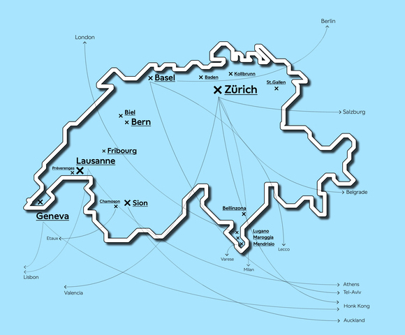
New Swiss Architecture
An Original Idea by New Generations
KUMMER/SCHIESS
Compete, Explore, Experiment
ALIAS
Stories Beyond the Surface
sumcrap.
Connected to Place

BUREAU/D
From Observation to Action
STUDIO ROMANO TIEDJE
Lessons in Transformation
Ruumfabrigg Architekten
From Countryside to Lasting Heritage
Kollektiv Marudo
Negotiating Built Realities
Studio Barrus
Starting byChance,Growing Through Principles
dorsa + 820
Between Fiction and Reality
S2L Landschaftsarchitektur
Public Spaces That Transform
DER
Designing Within Local Realities
Marginalia
Change from the Margins
En-Dehors
Shaping a Living and Flexible Ecosystem
lablab
A Lab for Growing Ideas
Soares Jaquier
Daring to Experiment
Sara Gelibter Architecte
Journey to Belonging
TEN (X)
A New Kind of Design Institute
DF_DC
Synergy in Practice: Evolving Together
GRILLO VASIU
Exploring Living, Embracing Cultures
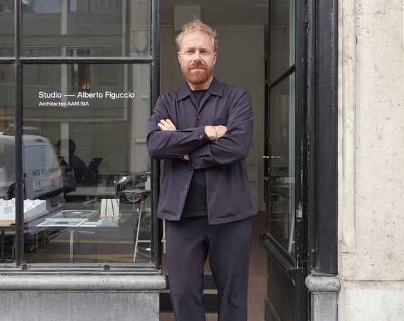
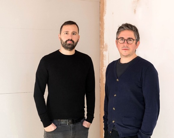
Studio — Alberto Figuccio
From Competitions to Realised Visions
Mentha Walther Architekten
Carefully Constructed
Stefan Wuelser +
Optimistic Rationalism: Design Beyond the Expected
BUREAU
A Practice Built on Questions
camponovo baumgartner
Flexible Frameworks, Unique Results
MAR ATELIER
Exploring the Fringes of Architecture
bach mühle fuchs
Constantly Aiming To Improve the Environment
NOSU Architekten GmbH
Building an Office from Competitions
BALISSAT KAÇANI
Challenging Typologies, Embracing Realities
Piertzovanis Toews
Crafted by Conception, Tailored to Measure
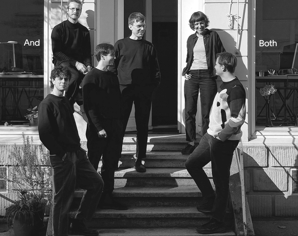
BothAnd
Fostering Collaboration and Openness

Atelier ORA
Building with Passion and Purpose
Atelier Hobiger Feichtner
Building with Sustainability in Mind
CAMPOPIANO.architetti
Architecture That Stays True to Itself
STUDIO PEZ
The Power of Evolving Ideas
Architecture Land Initiative
Architecture Across Scales
ellipsearchitecture
Humble Leanings, Cyclical Processes
Sophie Hamer Architect
Balancing History and Innovation
Argemí Bufano Architectes
Competitions as a Catalyst for Innovation

continentale
A Polychrome Revival
valsangiacomoboschetti
Building With What Remains
Oliver Christen Architekten
Framework for an Evolving Practice
MMXVI
Synergy in Practice
Balancing Roles and Ideas
studio 812
A Reflective Approach to
Fast-Growing Opportunities
STUDIO4
The Journey of STUDIO4
Holzhausen Zweifel Architekten
Shaping the Everyday
berset bruggisser
Architecture Rooted in Place
berset bruggisser
Architecture Rooted in Place
JBA - Joud Beaudoin Architectes
New Frontiers in Materiality
vizo Architekten
From Questions to Vision
Atelier NU
Prototypes of Practice
Atelier Tau
Architecture as a Form of Questioning
alexandro fotakis architecture
Embracing Context and Continuity
Atelier Anachron
Engaging with Complexity
SAJN - STUDIO FÜR ARCHITEKTUR
Transforming Rural Switzerland
guy barreto architects
Designing for Others, Answers Over Uniqueness
Concrete and the Woods
Building on Planet Earth
bureaumilieux
What is innovation?
apropå
A Sustainable and Frugal Practice

Massimo Frasson Architetto
Finding Clarity in Complex Projects
Studio David Klemmer
Binary Operations
Caterina Viguera Studio
Immersing in New Forms of Architecture
r2a architectes
Local Insights, Fresh Perspectives
HertelTan
Timeless Perspectives in Architecture
That Belongs
Nicolas de Courten
A Pragmatic Vision for Change

Atelier OLOS
Balance Between Nature and Built Environment
Associati
‘Cheap but intense’: The Associati Way
emixi architectes
Reconnecting Architecture with Craft
baraki architects&engineers
From Leftovers to Opportunities
DARE Architects
Material Matters: from Earth to Innovation
KOMPIS ARCHITECTES
Building from the Ground Up
Fill this form to have the opportunity to join the New Generations platform: submissions will be reviewed on a daily-basis, and the most innovative practices will have the chance to be part of the media's coverage and participate in our cultural agenda, including events, research projects, workshops, exhibitions and publications.
What is your name or office's name?
Next (1/6)
Thank you for your submission!
Continue
New Generations is a European platform that investigates the changes in the architectural profession ever since the economic crisis of 2008. We analyse the most innovative emerging practices at the European level, providing a new space for the exchange of knowledge and confrontation, theory, and production.
Since 2013, we have involved more than 3.000 practices from more than 50 countries in our cultural agenda, such as festivals, exhibitions, open calls, video-interviews, workshops, and experimental formats. We aim to offer a unique space where emerging architects could meet, exchange ideas, get inspired, and collaborate.
An original idea of New Generations
Team & collaborators: Gianpiero Venturini, Marta Hervás Oroza, Elisa Montani, Giuliana Capitelli, Kimberly Kruge, Canyang Cheng
If you have any questions, need further information, if you'd like to share with us a job offer, or just want to say hello please, don't hesitate to contact us by filling up this form. If you are interested in becoming part of the New Generations network, please fill in the specific survey at the 'join the platform' section.
What is your name or office's name?
Next (1/6)
Thanks, we will get back to you as soon as possible!
 ➡️
➡️


